I’ve seen the paths and tracks cut through existing forests to provide controlled access to the public. This is particularly important for Kauri trees due to their root structure.
Kauri forms extensive root systems with both a main tap root and peg roots that descend from lateral roots, up to 5 m deep. A network of fine feeder roots run up from the laterals into the
thick layer of forest litter in the forest to absorb nutrients. It is these critical feeder roots that are at risk of damage by surface traffic.
Existing forests may manage the surface traffic through the installation of elevated walkways. This is an expensive option, with ongoing maintenance requirements. In the case of a planted forest, an opportunity exists to plan the walking track first, then plant the trees to minimise the risk of damage.
A planned surface walking path provides not only the route for an enjoyable future experience through the Kauri forest, but also vehicular access for general maintenance and scientific study.
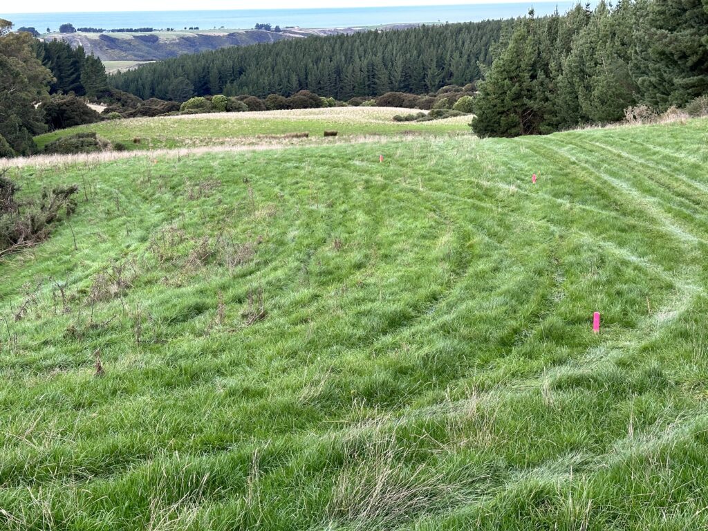
In selecting the route, Toby Stovold from Scion recommended a maximum slope of 4 degrees for walkers, which will also be suitable for wheeled small vehicles. I was able to plan a route that avoided the need for steps.
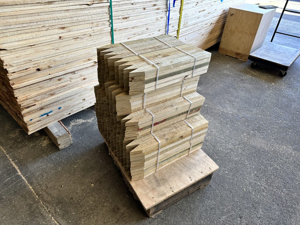
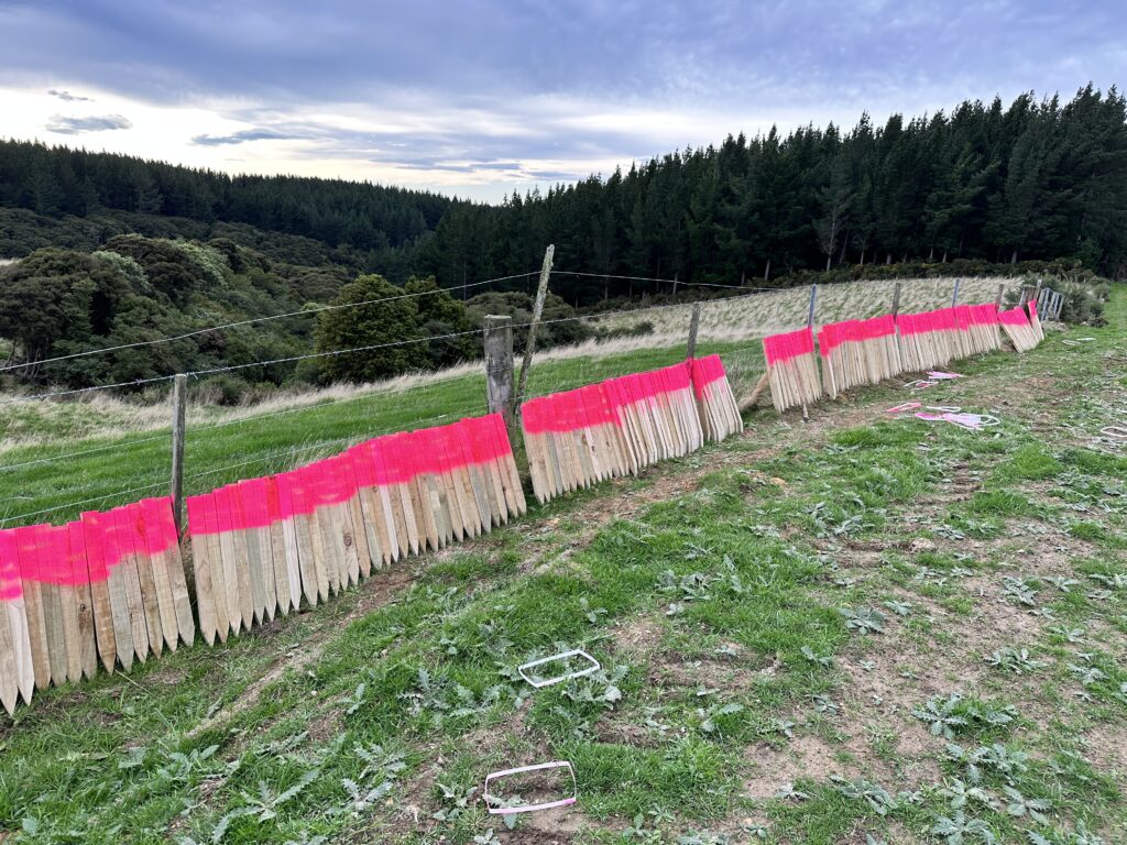
With the first 7,200 nurse trees due to be planted in August 2023, the track route needs to be established before the nurse trees are planted. I bought 250 600 mm stakes from Cargill Enterprises in Dunedin, and set about to define the future walking track. Cargill Enterprises is the trading arm of the Disabled Citizens Society of Otago, so it was rewarding to support a business that is doing good in the local community.
The property is still agisting sheep for Mike Gorinski. Mike told me that if the stakes were too high, then the sheep will rub themselves against them, and likely knock them over – so I drove the stakes well into the ground. To ensure they could be seen in the grass, I painted them day-glow pink.
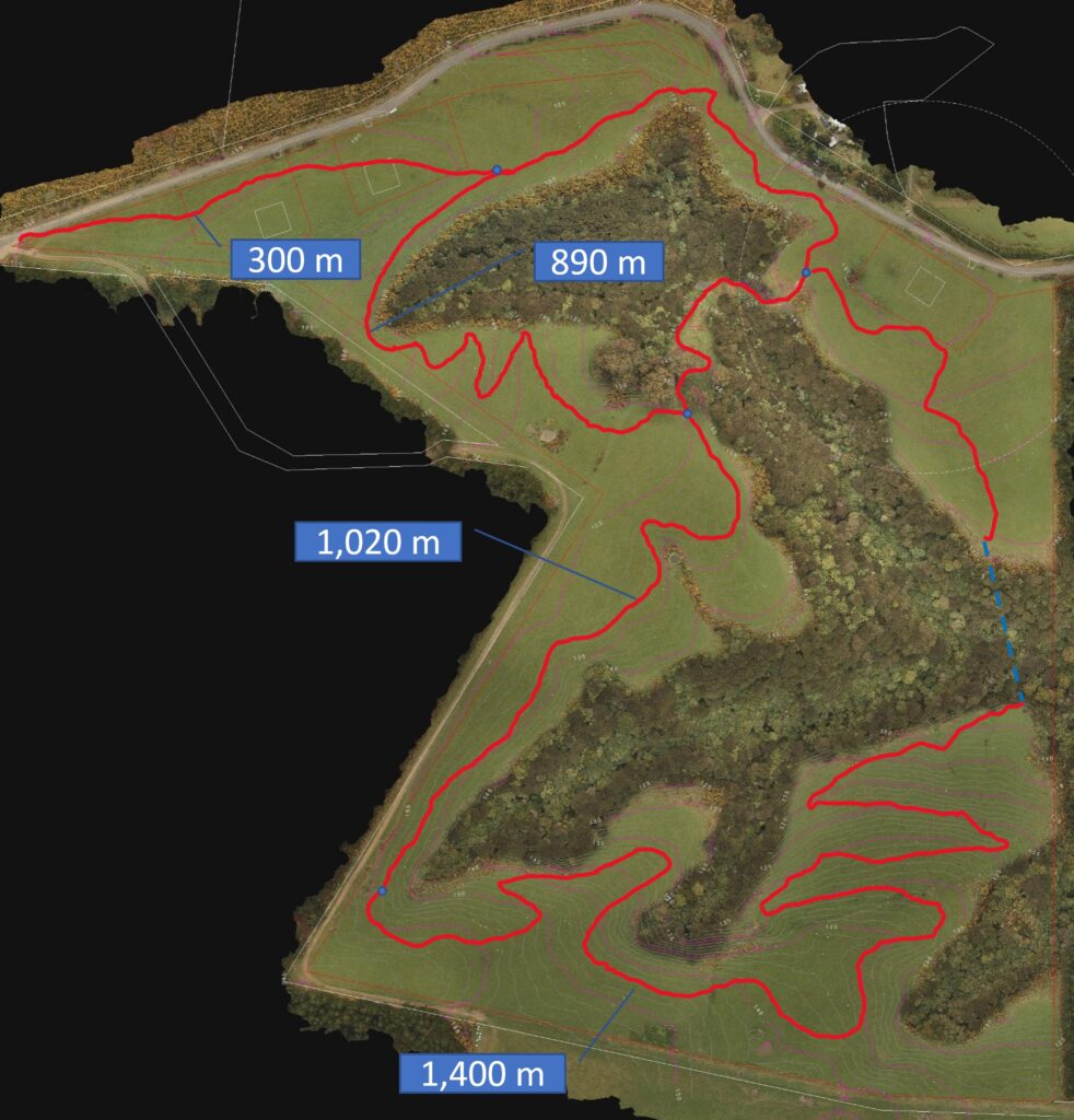
After the route was pegged out, I walked it, using the Strava app to record the route with its GPS location. This enabled me to create a route overlay on the contour scan of the land.